Drystane Dyke
Introduction
The photograph on this page of Drystane Dyke by Anne Burgess as part of the Geograph project.
The Geograph project started in 2005 with the aim of publishing, organising and preserving representative images for every square kilometre of Great Britain, Ireland and the Isle of Man.

There are currently over 7.5m images from over 14,400 individuals and you can help contribute to the project by visiting https://www.geograph.org.uk
Drystane Dyke
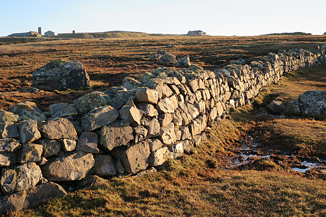
Image: © Anne Burgess Taken: 20 Jan 2017
A well-built dyke to have survived at least decades of battering by northerly gales, but it could perhaps do with some expert attention if it is to survive many more.
Images are licensed for reuse under creativecommons.org/licenses/by-sa/2.0
Image Location
Latitude
57.6915
Longitude
-2.136354