Road and farmland south of Beerash Cross
Introduction
The photograph on this page of Road and farmland south of Beerash Cross by David Smith as part of the Geograph project.
The Geograph project started in 2005 with the aim of publishing, organising and preserving representative images for every square kilometre of Great Britain, Ireland and the Isle of Man.

There are currently over 7.5m images from over 14,400 individuals and you can help contribute to the project by visiting https://www.geograph.org.uk
Road and farmland south of Beerash Cross
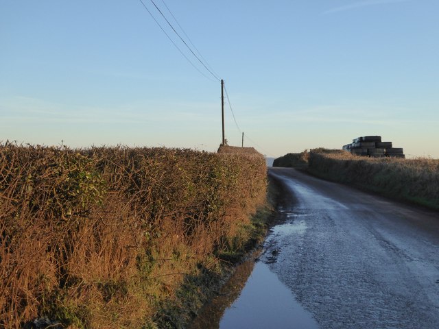
Image: © David Smith Taken: 19 Jan 2017
The standing water on the road after several days without rain is partly due to the poor drainage of this area, some of which is reclaimed moorland
Images are licensed for reuse under creativecommons.org/licenses/by-sa/2.0
Image Location


Leaflet Map data © OpenStreetMap
Latitude
50.867507
Longitude
-3.569662