Road to Cruwys Morchard from High Gate
Introduction
The photograph on this page of Road to Cruwys Morchard from High Gate by David Smith as part of the Geograph project.
The Geograph project started in 2005 with the aim of publishing, organising and preserving representative images for every square kilometre of Great Britain, Ireland and the Isle of Man.

There are currently over 7.5m images from over 14,400 individuals and you can help contribute to the project by visiting https://www.geograph.org.uk
Road to Cruwys Morchard from High Gate
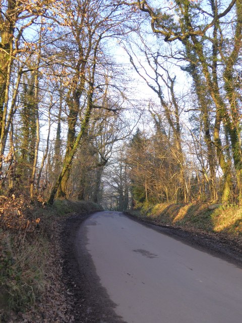
Image: © David Smith Taken: 19 Jan 2017
High Gate is on the ridge east of Pennymoor; there are several plantations on the north of the road, on the slope to the valley. This road runs between Horseclose and Farley Plantations
Images are licensed for reuse under creativecommons.org/licenses/by-sa/2.0
Image Location


Leaflet Map data © OpenStreetMap
Latitude
50.892591
Longitude
-3.596668