Tumbledown Dyke
Introduction
The photograph on this page of Tumbledown Dyke by Anne Burgess as part of the Geograph project.
The Geograph project started in 2005 with the aim of publishing, organising and preserving representative images for every square kilometre of Great Britain, Ireland and the Isle of Man.

There are currently over 7.5m images from over 14,400 individuals and you can help contribute to the project by visiting https://www.geograph.org.uk
Tumbledown Dyke
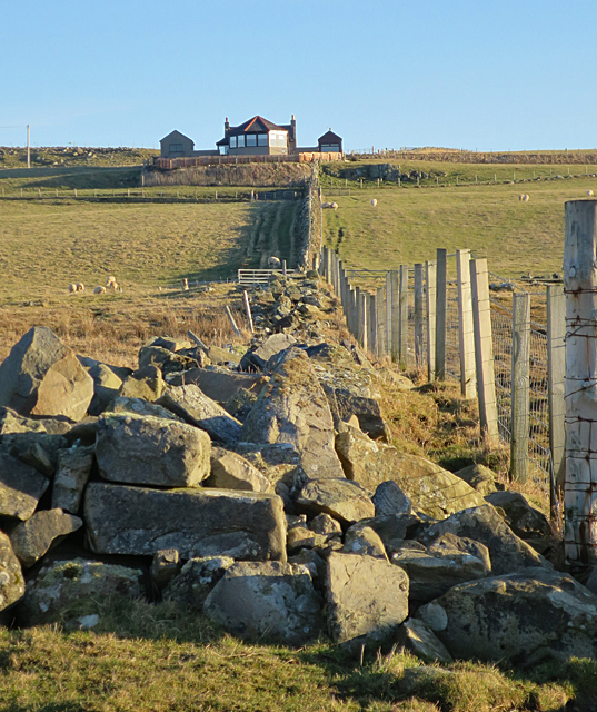
Image: © Anne Burgess Taken: 20 Jan 2017
No wonder the farmer has put up a new fence - the dyke is in no condition to contain livestock and especially not sheep. The house at the top is Braco Brae Cottage, and it is in the next square.
Images are licensed for reuse under creativecommons.org/licenses/by-sa/2.0
Image Location
Latitude
57.688536
Longitude
-2.136343