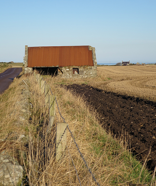
Derelict Building
Introduction
The photograph on this page of Derelict Building by Anne Burgess as part of the Geograph project.
The Geograph project started in 2005 with the aim of publishing, organising and preserving representative images for every square kilometre of Great Britain, Ireland and the Isle of Man.
There are currently over 7.5m images from over 14,400 individuals and you can help contribute to the project by visiting https://www.geograph.org.uk

Image: © Anne Burgess Taken: 20 Jan 2017
This has already caught the eye of another Geograph contributor who, like me, wondered about its history. It is marked on the first edition of the Ordnance Survey six-inch map, with a well beside it which would be visible in this view if it still existed. I surmise that it was originally a cottage, and that at some later date a larger opening was made for it to be used for livestock or machinery.

