High Street
Introduction
The photograph on this page of High Street by Anne Burgess as part of the Geograph project.
The Geograph project started in 2005 with the aim of publishing, organising and preserving representative images for every square kilometre of Great Britain, Ireland and the Isle of Man.

There are currently over 7.5m images from over 14,400 individuals and you can help contribute to the project by visiting https://www.geograph.org.uk
High Street
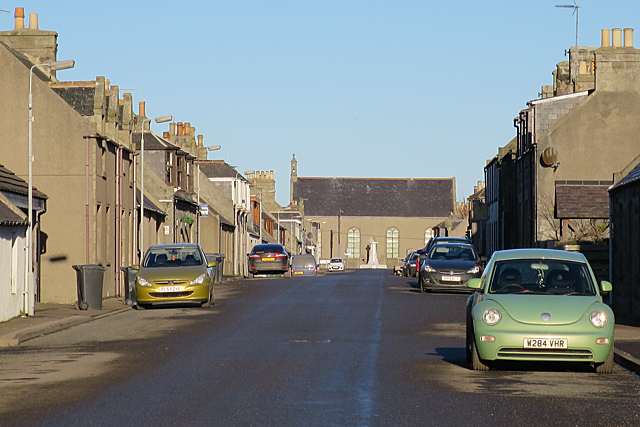
Image: © Anne Burgess Taken: 20 Jan 2017
New Aberdour is a classic example of a planned village. It has a wide straight street with the houses lined up with their front elevation facing the street, and the kirk is placed at the end of the street.
Images are licensed for reuse under creativecommons.org/licenses/by-sa/2.0
Image Location
Latitude
57.658278
Longitude
-2.195385