Footbridge over Chapman Beck
Introduction
The photograph on this page of Footbridge over Chapman Beck by Trevor Littlewood as part of the Geograph project.
The Geograph project started in 2005 with the aim of publishing, organising and preserving representative images for every square kilometre of Great Britain, Ireland and the Isle of Man.

There are currently over 7.5m images from over 14,400 individuals and you can help contribute to the project by visiting https://www.geograph.org.uk
Footbridge over Chapman Beck
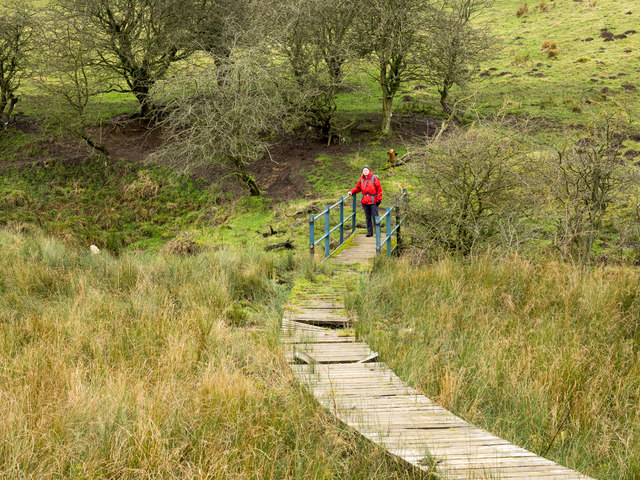
Image: © Trevor Littlewood Taken: 20 Jan 2017
The water of Chapman Beck ultimately reaches the River Wear near to Durham not far from this location. The bridge carries a field path over the beck; the eastern approach is very boggy and so the duckboarding - more hazardous due to slipperiness than dealing with marsh.
Images are licensed for reuse under creativecommons.org/licenses/by-sa/2.0
Image Location
Latitude
54.760552
Longitude
-1.518388