Allanshill Radar Station
Introduction
The photograph on this page of Allanshill Radar Station by Anne Burgess as part of the Geograph project.
The Geograph project started in 2005 with the aim of publishing, organising and preserving representative images for every square kilometre of Great Britain, Ireland and the Isle of Man.

There are currently over 7.5m images from over 14,400 individuals and you can help contribute to the project by visiting https://www.geograph.org.uk
Allanshill Radar Station
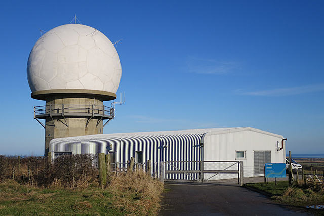
Image: © Anne Burgess Taken: 20 Jan 2017
The sign by the gate reveals that this is operated by NATS - the National Air Traffic Service.
Images are licensed for reuse under creativecommons.org/licenses/by-sa/2.0
Image Location
Latitude
57.642961
Longitude
-2.165485