Station Vicinity, Mansfield, Notts.
Introduction
The photograph on this page of Station Vicinity, Mansfield, Notts. by David Hallam-Jones as part of the Geograph project.
The Geograph project started in 2005 with the aim of publishing, organising and preserving representative images for every square kilometre of Great Britain, Ireland and the Isle of Man.

There are currently over 7.5m images from over 14,400 individuals and you can help contribute to the project by visiting https://www.geograph.org.uk
Station Vicinity, Mansfield, Notts.
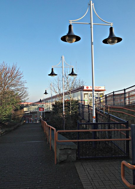
Image: © David Hallam-Jones Taken: 20 Jan 2017
The entrance into an enclosed, raised walkway that connects the railway station and the bus station is visible behind the nearest lamp-post. This is used to convey passengers over the tops of buses in the manoeuvring area below it. Passengers also have the option to descend this ramp into Quaker Way that runs parallel with the front of the bus station.
Images are licensed for reuse under creativecommons.org/licenses/by-sa/2.0
Image Location
Latitude
53.14228
Longitude
-1.198505