Houses and farm in Sherburn
Introduction
The photograph on this page of Houses and farm in Sherburn by Trevor Littlewood as part of the Geograph project.
The Geograph project started in 2005 with the aim of publishing, organising and preserving representative images for every square kilometre of Great Britain, Ireland and the Isle of Man.

There are currently over 7.5m images from over 14,400 individuals and you can help contribute to the project by visiting https://www.geograph.org.uk
Houses and farm in Sherburn
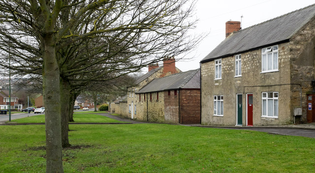
Image: © Trevor Littlewood Taken: 20 Jan 2017
Sherburn is a village astride the B1283 lying to the west of Durham city. The buildings in view are at the eastern end of the settlement and on the south side of the main road.
Images are licensed for reuse under creativecommons.org/licenses/by-sa/2.0
Image Location
Latitude
54.774057
Longitude
-1.502527