Timber ponds and Dumbarton
Introduction
The photograph on this page of Timber ponds and Dumbarton by Thomas Nugent as part of the Geograph project.
The Geograph project started in 2005 with the aim of publishing, organising and preserving representative images for every square kilometre of Great Britain, Ireland and the Isle of Man.

There are currently over 7.5m images from over 14,400 individuals and you can help contribute to the project by visiting https://www.geograph.org.uk
Timber ponds and Dumbarton
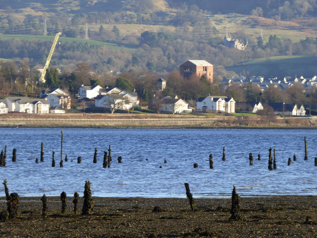
Image: © Thomas Nugent Taken: 2 Jan 2017
Overtoun House Image can be seen on the hill to the right. Viewed from the mouth of the Finlaystone Burn.
Images are licensed for reuse under creativecommons.org/licenses/by-sa/2.0
Image Location
Latitude
55.938154
Longitude
-4.582212