Former Lord Nelson, 11, Nelson Place
Introduction
The photograph on this page of Former Lord Nelson, 11, Nelson Place by John Baker as part of the Geograph project.
The Geograph project started in 2005 with the aim of publishing, organising and preserving representative images for every square kilometre of Great Britain, Ireland and the Isle of Man.

There are currently over 7.5m images from over 14,400 individuals and you can help contribute to the project by visiting https://www.geograph.org.uk
Former Lord Nelson, 11, Nelson Place
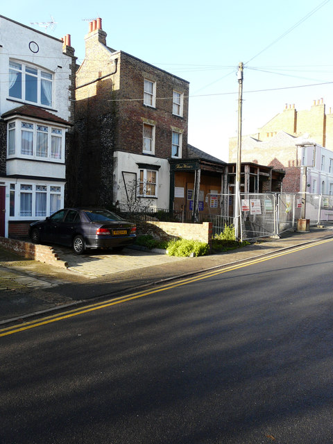
Image: © John Baker Taken: 2 Jan 2017
The public house closed for the last time on 29 July 2014. David Anstiss Image shows the premises, when it was a thriving public house. Planning permission under application number F/TH/14/1066 was initially refused by Thanet District Council but was granted (following an appeal) by the planning inspectorate under appeal ref: APP/Z2260/W/15/3016558 for the “change of use from public house to five flats together with 3-storey extension following demolition of the single storey front extension and bar. It is also proposed to demolish the single storey outbuilding to the west of the site”.
Images are licensed for reuse under creativecommons.org/licenses/by-sa/2.0
Image Location
Latitude
51.36061
Longitude
1.442737