Caravan park
Introduction
The photograph on this page of Caravan park by Robert Eva as part of the Geograph project.
The Geograph project started in 2005 with the aim of publishing, organising and preserving representative images for every square kilometre of Great Britain, Ireland and the Isle of Man.

There are currently over 7.5m images from over 14,400 individuals and you can help contribute to the project by visiting https://www.geograph.org.uk
Caravan park
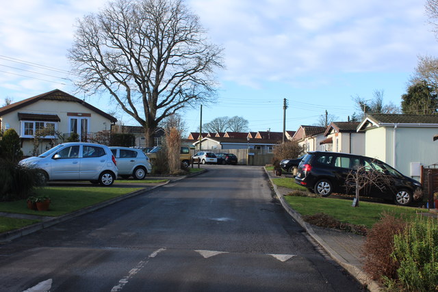
Image: © Robert Eva Taken: 14 Jan 2017
Described on the map as a "caravan" but these are more permanent dwellings. The Hanger Way passes through here.
Images are licensed for reuse under creativecommons.org/licenses/by-sa/2.0
Image Location
Latitude
50.995288
Longitude
-0.940357