Bus shelter and road sign, Whitehouse, Newtownabbey (January 2017)
Introduction
The photograph on this page of Bus shelter and road sign, Whitehouse, Newtownabbey (January 2017) by Albert Bridge as part of the Geograph project.
The Geograph project started in 2005 with the aim of publishing, organising and preserving representative images for every square kilometre of Great Britain, Ireland and the Isle of Man.

There are currently over 7.5m images from over 14,400 individuals and you can help contribute to the project by visiting https://www.geograph.org.uk
Bus shelter and road sign, Whitehouse, Newtownabbey (January 2017)
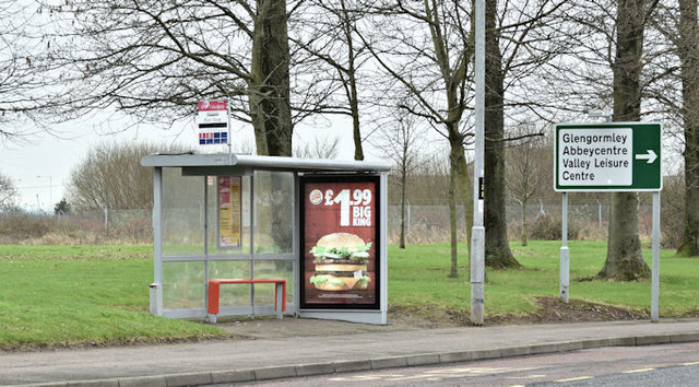
Image: © Albert Bridge Taken: 18 Jan 2017
Bus shelter and direction sign on the Shore Road, opposite the Longwood Road. The stop is served by inward Metro and Ulsterbus services.
Images are licensed for reuse under creativecommons.org/licenses/by-sa/2.0
Image Location
Latitude
54.655048
Longitude
-5.911642