Petersfield roof tops
Introduction
The photograph on this page of Petersfield roof tops by Robert Eva as part of the Geograph project.
The Geograph project started in 2005 with the aim of publishing, organising and preserving representative images for every square kilometre of Great Britain, Ireland and the Isle of Man.

There are currently over 7.5m images from over 14,400 individuals and you can help contribute to the project by visiting https://www.geograph.org.uk
Petersfield roof tops
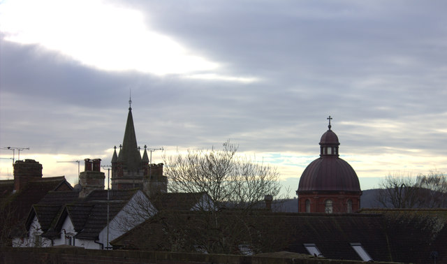
Image: © Robert Eva Taken: 14 Jan 2017
The dome of St Lawrence RC church and the spire of Petersfield Methodist church can both be seen. Taken from Tilmore Road railway bridge
Images are licensed for reuse under creativecommons.org/licenses/by-sa/2.0
Image Location
Latitude
51.006521
Longitude
-0.939531