Lane to Rosewarrick
Introduction
The photograph on this page of Lane to Rosewarrick by Derek Harper as part of the Geograph project.
The Geograph project started in 2005 with the aim of publishing, organising and preserving representative images for every square kilometre of Great Britain, Ireland and the Isle of Man.

There are currently over 7.5m images from over 14,400 individuals and you can help contribute to the project by visiting https://www.geograph.org.uk
Lane to Rosewarrick
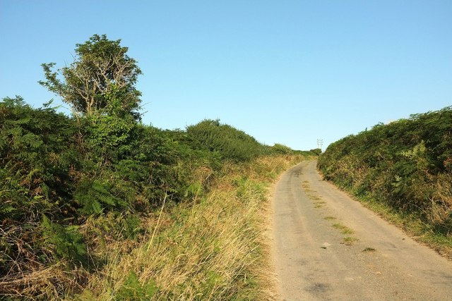
Image: © Derek Harper Taken: 16 Aug 2016
A quiet side lane that would logically only be used by those needing to reach the two farms of Rosewarrick.
Images are licensed for reuse under creativecommons.org/licenses/by-sa/2.0
Image Location


Leaflet Map data © OpenStreetMap
Latitude
50.441463
Longitude
-4.789872