Tree and bus shelter at the SE edge of Flint
Introduction
The photograph on this page of Tree and bus shelter at the SE edge of Flint by Jaggery as part of the Geograph project.
The Geograph project started in 2005 with the aim of publishing, organising and preserving representative images for every square kilometre of Great Britain, Ireland and the Isle of Man.

There are currently over 7.5m images from over 14,400 individuals and you can help contribute to the project by visiting https://www.geograph.org.uk
Tree and bus shelter at the SE edge of Flint
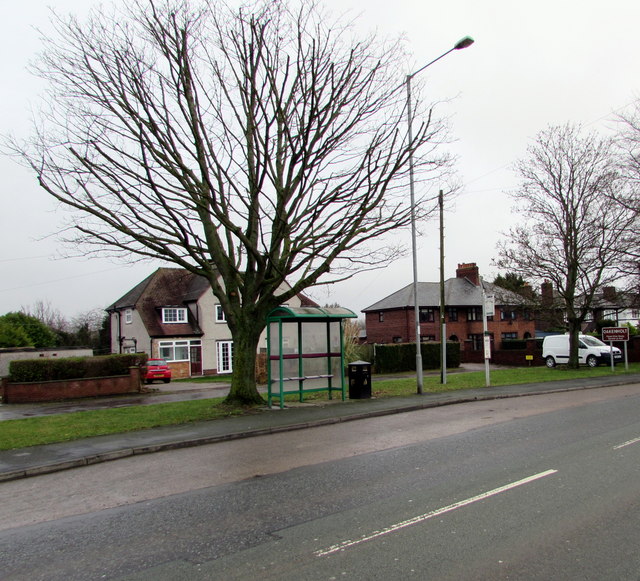
Image: © Jaggery Taken: 16 Jan 2017
Viewed across the A548 Chester Road. The Oakenholt village boundary sign http://www.geograph.org.uk/photo/5255634 is on the right.
Images are licensed for reuse under creativecommons.org/licenses/by-sa/2.0
Image Location
Latitude
53.242019
Longitude
-3.118409