Bogle, Lynsted Lane
Introduction
The photograph on this page of Bogle, Lynsted Lane by pam fray as part of the Geograph project.
The Geograph project started in 2005 with the aim of publishing, organising and preserving representative images for every square kilometre of Great Britain, Ireland and the Isle of Man.

There are currently over 7.5m images from over 14,400 individuals and you can help contribute to the project by visiting https://www.geograph.org.uk
Bogle, Lynsted Lane
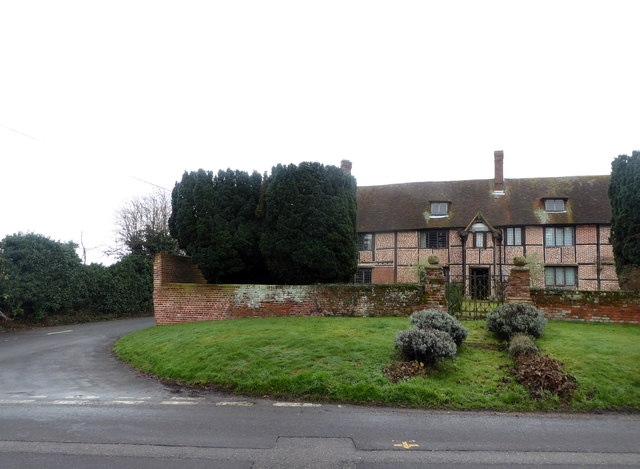
Image: © pam fray Taken: 16 Jan 2017
Bogle Road is on the left. Bogle is a Grade II* listed building dating from the 16th century and extended in the 17th and 20th centuries.
Images are licensed for reuse under creativecommons.org/licenses/by-sa/2.0
Image Location
Latitude
51.318918
Longitude
0.79282