Wetland hollow surrounded by drumlins
Introduction
The photograph on this page of Wetland hollow surrounded by drumlins by Eric Jones as part of the Geograph project.
The Geograph project started in 2005 with the aim of publishing, organising and preserving representative images for every square kilometre of Great Britain, Ireland and the Isle of Man.

There are currently over 7.5m images from over 14,400 individuals and you can help contribute to the project by visiting https://www.geograph.org.uk
Wetland hollow surrounded by drumlins
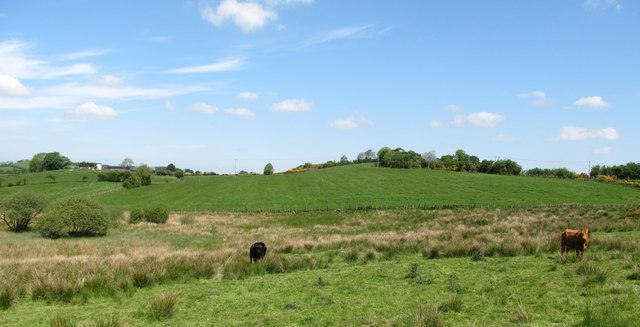
Image: © Eric Jones Taken: 2 Jun 2016
This land is used for summer grazing while the drier drumlin slope land is used for hay making.
Images are licensed for reuse under creativecommons.org/licenses/by-sa/2.0
Image Location
Latitude
54.200658
Longitude
-6.6877