Langdale Road, Aldrington, Hove
Introduction
The photograph on this page of Langdale Road, Aldrington, Hove by Simon Carey as part of the Geograph project.
The Geograph project started in 2005 with the aim of publishing, organising and preserving representative images for every square kilometre of Great Britain, Ireland and the Isle of Man.

There are currently over 7.5m images from over 14,400 individuals and you can help contribute to the project by visiting https://www.geograph.org.uk
Langdale Road, Aldrington, Hove
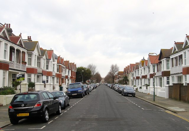
Image: © Simon Carey Taken: 14 Jan 2017
A residential road that runs between Kingsway, the A259, and New Church Road, the B2066 that was built in the years leading up to the First World War.
Images are licensed for reuse under creativecommons.org/licenses/by-sa/2.0
Image Location
Latitude
50.827513
Longitude
-0.189476