Fields Above Swanage
Introduction
The photograph on this page of Fields Above Swanage by Nigel Mykura as part of the Geograph project.
The Geograph project started in 2005 with the aim of publishing, organising and preserving representative images for every square kilometre of Great Britain, Ireland and the Isle of Man.

There are currently over 7.5m images from over 14,400 individuals and you can help contribute to the project by visiting https://www.geograph.org.uk
Fields Above Swanage
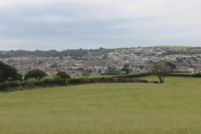
Image: © Nigel Mykura Taken: 5 Sep 2016
Looking down onto Swanage from raised ground to the north on the road towards Ulwell
Images are licensed for reuse under creativecommons.org/licenses/by-sa/2.0
Image Location
Latitude
50.621411
Longitude
-1.968989