Abbey St Crewkerne
Introduction
The photograph on this page of Abbey St Crewkerne by Nigel Mykura as part of the Geograph project.
The Geograph project started in 2005 with the aim of publishing, organising and preserving representative images for every square kilometre of Great Britain, Ireland and the Isle of Man.

There are currently over 7.5m images from over 14,400 individuals and you can help contribute to the project by visiting https://www.geograph.org.uk
Abbey St Crewkerne
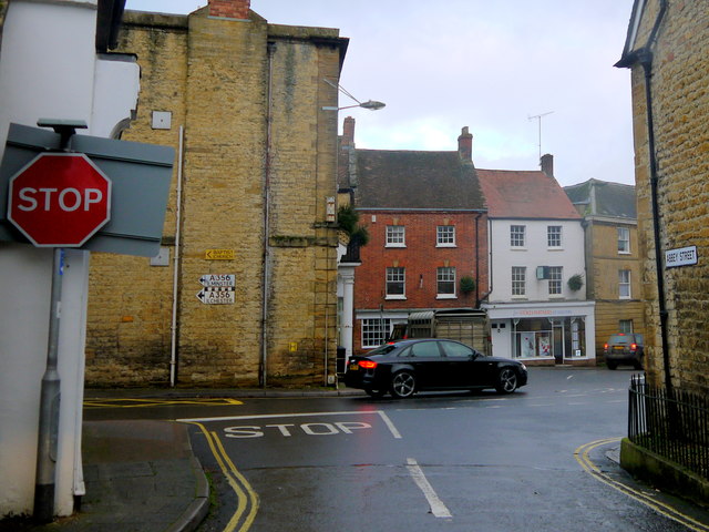
Image: © Nigel Mykura Taken: 13 Dec 2016
Abbey St runs from the junction of Pople's Well and Rose Lane to its junction with North St. This shows the stop sign at the North St junction with the two pre-Worboys signs on the wall to Ilminster and Ilchester on the A356
Images are licensed for reuse under creativecommons.org/licenses/by-sa/2.0
Image Location
Latitude
50.885422
Longitude
-2.795896