Substation graffiti, Belfast (January 2017)
Introduction
The photograph on this page of Substation graffiti, Belfast (January 2017) by Albert Bridge as part of the Geograph project.
The Geograph project started in 2005 with the aim of publishing, organising and preserving representative images for every square kilometre of Great Britain, Ireland and the Isle of Man.

There are currently over 7.5m images from over 14,400 individuals and you can help contribute to the project by visiting https://www.geograph.org.uk
Substation graffiti, Belfast (January 2017)
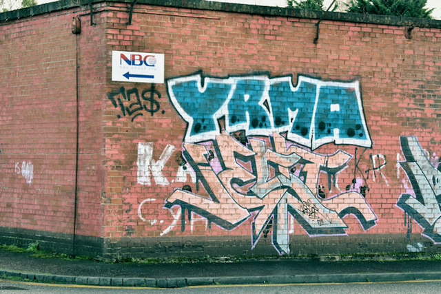
Image: © Albert Bridge Taken: 15 Jan 2017
Graffiti on a substation wall between the Ravenhill and Woodstock Roads. The street in now a cul-de-sac ending at business premises. With redevelopment and road widening more than 30 years ago it’s hard to identify the street’s original name but it might have been Myrtle Street. Today’s postal addresses for the nearby businesses is simply “Ravenhill Road”.
Images are licensed for reuse under creativecommons.org/licenses/by-sa/2.0
Image Location
Latitude
54.594748
Longitude
-5.911016