Gusted Hall Lane
Introduction
The photograph on this page of Gusted Hall Lane by Robert Eva as part of the Geograph project.
The Geograph project started in 2005 with the aim of publishing, organising and preserving representative images for every square kilometre of Great Britain, Ireland and the Isle of Man.

There are currently over 7.5m images from over 14,400 individuals and you can help contribute to the project by visiting https://www.geograph.org.uk
Gusted Hall Lane
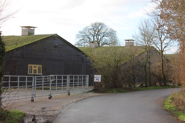
Image: © Robert Eva Taken: 11 Jan 2017
This is the top end of the lane, near to where it leaves Hall Road. The building on the left is just shown as "farm" on the map.
Images are licensed for reuse under creativecommons.org/licenses/by-sa/2.0
Image Location
Latitude
51.588748
Longitude
0.664676