Towards Caynham Hill
Introduction
The photograph on this page of Towards Caynham Hill by Ian Capper as part of the Geograph project.
The Geograph project started in 2005 with the aim of publishing, organising and preserving representative images for every square kilometre of Great Britain, Ireland and the Isle of Man.

There are currently over 7.5m images from over 14,400 individuals and you can help contribute to the project by visiting https://www.geograph.org.uk
Towards Caynham Hill
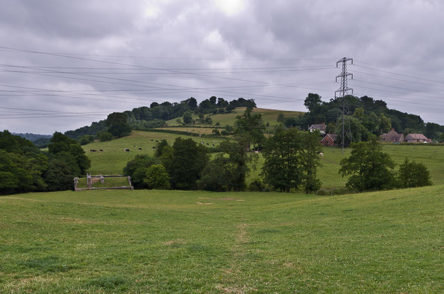
Image: © Ian Capper Taken: 21 Jul 2013
Looking towards Caynham Hill. On the left of the photo is Ledwyche Brook Crossing, carrying the Elan Valley Aqueduct across Ledwyche Brook.
Images are licensed for reuse under creativecommons.org/licenses/by-sa/2.0
Image Location
Latitude
52.359909
Longitude
-2.68035