Bournemouth: eastbound on Old Christchurch Lane
Introduction
The photograph on this page of Bournemouth: eastbound on Old Christchurch Lane by Chris Downer as part of the Geograph project.
The Geograph project started in 2005 with the aim of publishing, organising and preserving representative images for every square kilometre of Great Britain, Ireland and the Isle of Man.

There are currently over 7.5m images from over 14,400 individuals and you can help contribute to the project by visiting https://www.geograph.org.uk
Bournemouth: eastbound on Old Christchurch Lane
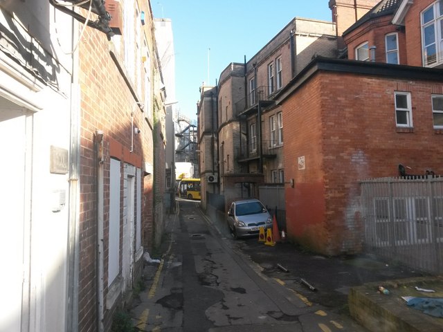
Image: © Chris Downer Taken: 13 Jan 2017
A view along this rear access driveway to shops on Old Christchurch Road (left). The route is also a public footpath, number C09. We look east with the junction of Fir Vale Road, where a bus is just passing. See Image for the view towards us from ahead, and Image for the next view behind - each with links to further pictures along the route.
Images are licensed for reuse under creativecommons.org/licenses/by-sa/2.0
Image Location
Latitude
50.721887
Longitude
-1.874435