Chesterton: St Andrew's Road
Introduction
The photograph on this page of Chesterton: St Andrew's Road by John Sutton as part of the Geograph project.
The Geograph project started in 2005 with the aim of publishing, organising and preserving representative images for every square kilometre of Great Britain, Ireland and the Isle of Man.

There are currently over 7.5m images from over 14,400 individuals and you can help contribute to the project by visiting https://www.geograph.org.uk
Chesterton: St Andrew's Road
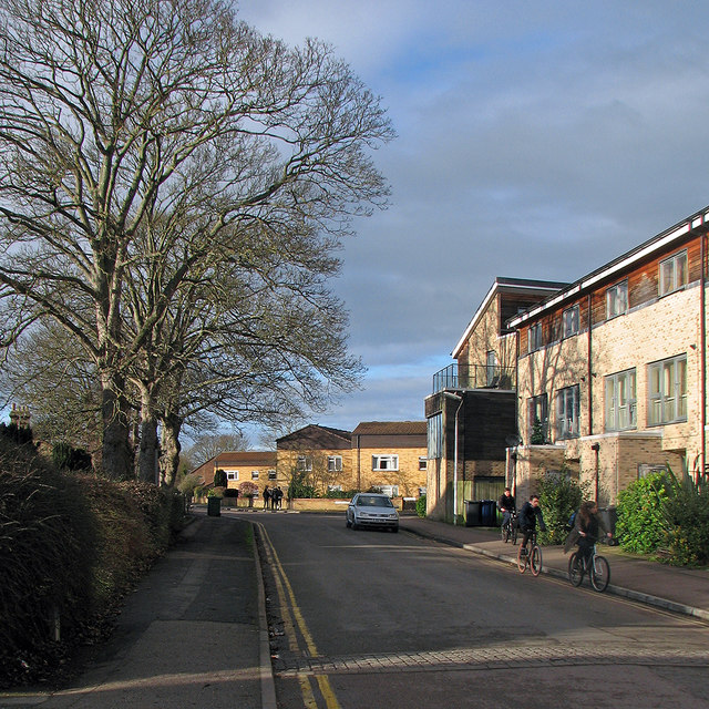
Image: © John Sutton Taken: 13 Jan 2017
Churchyard trees and relatively recent housing, photographed during a sunny spell on a day when there had been snow showers.
Images are licensed for reuse under creativecommons.org/licenses/by-sa/2.0
Image Location


Leaflet Map data © OpenStreetMap
Latitude
52.215647
Longitude
0.139883