Bronallt
Introduction
The photograph on this page of Bronallt by Jonathan Wilkins as part of the Geograph project.
The Geograph project started in 2005 with the aim of publishing, organising and preserving representative images for every square kilometre of Great Britain, Ireland and the Isle of Man.

There are currently over 7.5m images from over 14,400 individuals and you can help contribute to the project by visiting https://www.geograph.org.uk
Bronallt
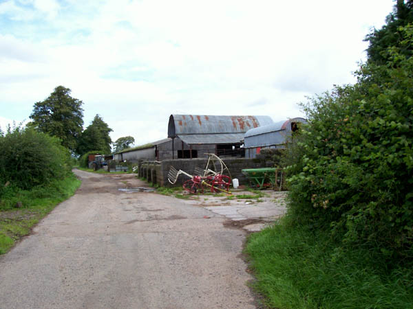
Image: © Jonathan Wilkins Taken: 27 Jul 2007
Bronallt farm lies adjacent to the unclassified, no-through-road which at this point also carries the Beacons Way LDP.
Images are licensed for reuse under creativecommons.org/licenses/by-sa/2.0
Image Location


Leaflet Map data © OpenStreetMap
Latitude
51.923501
Longitude
-3.897825