Houses on Hodster Lane
Introduction
The photograph on this page of Houses on Hodster Lane by Christine Johnstone as part of the Geograph project.
The Geograph project started in 2005 with the aim of publishing, organising and preserving representative images for every square kilometre of Great Britain, Ireland and the Isle of Man.

There are currently over 7.5m images from over 14,400 individuals and you can help contribute to the project by visiting https://www.geograph.org.uk
Houses on Hodster Lane
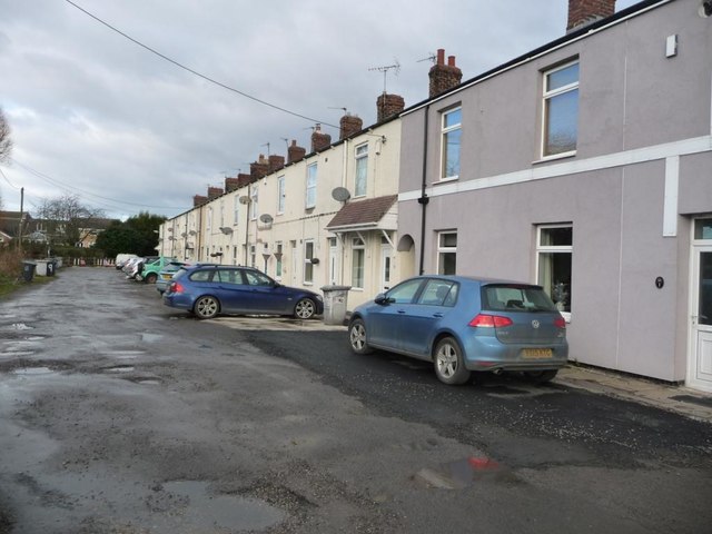
Image: © Christine Johnstone Taken: 13 Jan 2017
A terrace running west from the B6273, at the north-west end of the village.
Images are licensed for reuse under creativecommons.org/licenses/by-sa/2.0
Image Location
Latitude
53.559226
Longitude
-1.353993