Looking down Marigold Avenue
Introduction
The photograph on this page of Looking down Marigold Avenue by malcolm rayment as part of the Geograph project.
The Geograph project started in 2005 with the aim of publishing, organising and preserving representative images for every square kilometre of Great Britain, Ireland and the Isle of Man.

There are currently over 7.5m images from over 14,400 individuals and you can help contribute to the project by visiting https://www.geograph.org.uk
Looking down Marigold Avenue
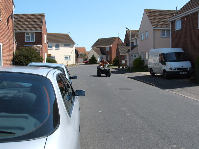
Image: © malcolm rayment Taken: 30 Apr 2006
Looking down Marigold Avenue on a nice sunny day in April 2006.
Images are licensed for reuse under creativecommons.org/licenses/by-sa/2.0
Image Location
Latitude
51.800875
Longitude
1.135858