Queen's Crescent, Bodmin
Introduction
The photograph on this page of Queen's Crescent, Bodmin by Derek Harper as part of the Geograph project.
The Geograph project started in 2005 with the aim of publishing, organising and preserving representative images for every square kilometre of Great Britain, Ireland and the Isle of Man.

There are currently over 7.5m images from over 14,400 individuals and you can help contribute to the project by visiting https://www.geograph.org.uk
Queen's Crescent, Bodmin
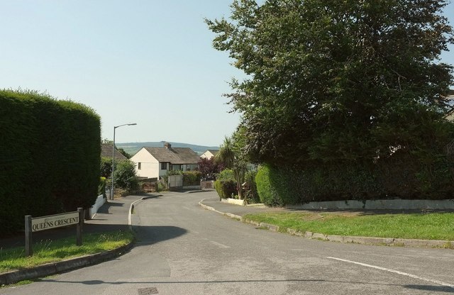
Image: © Derek Harper Taken: 16 Aug 2016
Seen from St Mary's Road, this crescent performs a wide sweep around a housing estate, rejoining the road 300 metres further on to the right.
Images are licensed for reuse under creativecommons.org/licenses/by-sa/2.0
Image Location
Latitude
50.463121
Longitude
-4.737739