Path meeting the Shore Circular Path
Introduction
The photograph on this page of Path meeting the Shore Circular Path by Lairich Rig as part of the Geograph project.
The Geograph project started in 2005 with the aim of publishing, organising and preserving representative images for every square kilometre of Great Britain, Ireland and the Isle of Man.

There are currently over 7.5m images from over 14,400 individuals and you can help contribute to the project by visiting https://www.geograph.org.uk
Path meeting the Shore Circular Path
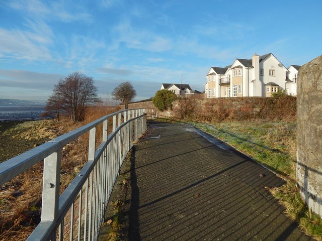
Image: © Lairich Rig Taken: 5 Jan 2017
The path leading straight ahead is part of a route called the Shore Circular Path. The opening on the right is the end of a Image (see also Image).
Images are licensed for reuse under creativecommons.org/licenses/by-sa/2.0
Image Location
Latitude
55.938447
Longitude
-4.58111