Recreation area, Fitzherbert Drive
Introduction
The photograph on this page of Recreation area, Fitzherbert Drive by Patrick Roper as part of the Geograph project.
The Geograph project started in 2005 with the aim of publishing, organising and preserving representative images for every square kilometre of Great Britain, Ireland and the Isle of Man.

There are currently over 7.5m images from over 14,400 individuals and you can help contribute to the project by visiting https://www.geograph.org.uk
Recreation area, Fitzherbert Drive
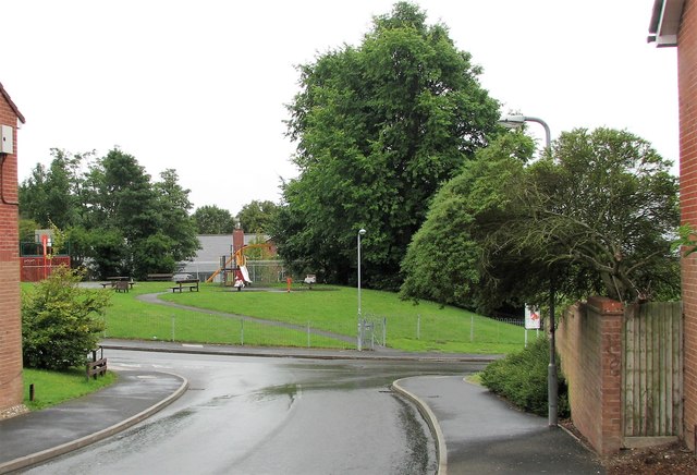
Image: © Patrick Roper Taken: 25 Aug 2010
An open area with facilities for children on a modern housing estate
Images are licensed for reuse under creativecommons.org/licenses/by-sa/2.0
Image Location
Latitude
50.837173
Longitude
-0.112408