House in Tenantry Road, Brighton
Introduction
The photograph on this page of House in Tenantry Road, Brighton by Patrick Roper as part of the Geograph project.
The Geograph project started in 2005 with the aim of publishing, organising and preserving representative images for every square kilometre of Great Britain, Ireland and the Isle of Man.

There are currently over 7.5m images from over 14,400 individuals and you can help contribute to the project by visiting https://www.geograph.org.uk
House in Tenantry Road, Brighton
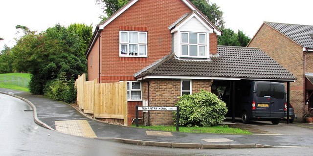
Image: © Patrick Roper Taken: 25 Aug 2010
House at the junction of Tenantry Road and Fitzherbert Drive. The name 'Tenantry' comes from Tenantry Down and the area is in one of the former tenanted land divisions of Brighton known as 'laines'. 'Laine' was the local term for open arable fields common in medieval agriculture before enclosure.
Images are licensed for reuse under creativecommons.org/licenses/by-sa/2.0
Image Location
Latitude
50.837726
Longitude
-0.113238