Holdenhurst: footpath K49 reaches Riverside Avenue
Introduction
The photograph on this page of Holdenhurst: footpath K49 reaches Riverside Avenue by Chris Downer as part of the Geograph project.
The Geograph project started in 2005 with the aim of publishing, organising and preserving representative images for every square kilometre of Great Britain, Ireland and the Isle of Man.

There are currently over 7.5m images from over 14,400 individuals and you can help contribute to the project by visiting https://www.geograph.org.uk
Holdenhurst: footpath K49 reaches Riverside Avenue
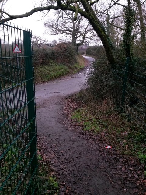
Image: © Chris Downer Taken: 8 Jan 2017
This public footpath comprises the footbridge over the A338, linking Holdenhurst Village with Riverside Avenue (this side), and includes the short tarmac approaches on each side. Here, we are about to emerge onto Riverside Avenue at its dead end - the road does continue to the sharp left but only as a driveway to the sewage works. See Image for the view onto the path from the road ahead, and Image for the next view behind us, with links to further photos along the route.
Images are licensed for reuse under creativecommons.org/licenses/by-sa/2.0
Image Location


Leaflet Map data © OpenStreetMap
Latitude
50.75194
Longitude
-1.819213