Townsend: dividing line on footpath K45
Introduction
The photograph on this page of Townsend: dividing line on footpath K45 by Chris Downer as part of the Geograph project.
The Geograph project started in 2005 with the aim of publishing, organising and preserving representative images for every square kilometre of Great Britain, Ireland and the Isle of Man.

There are currently over 7.5m images from over 14,400 individuals and you can help contribute to the project by visiting https://www.geograph.org.uk
Townsend: dividing line on footpath K45
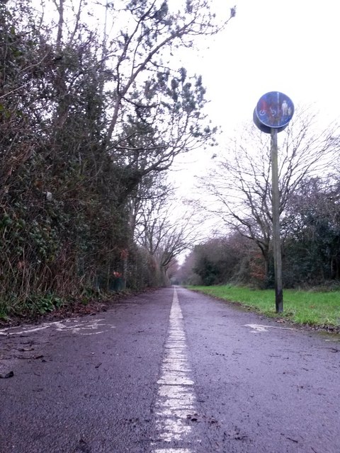
Image: © Chris Downer Taken: 8 Jan 2017
This public footpath, nowadays marked out as a shared foot/cycle route, runs for 500m or so alongside the main A338 and is essentially a replacement for this segment of Holdenhurst Road, which was lost to make way for the dual carriageway. Holdenhurst Road is still one of the town's main routes but no longer reaches Holdenhurst village as it originally did. Here, the camera is positioned low to the ground as we look along the white line separating the intended cycle and walking halves of the paved path. See Image for the next view on the path ahead, and Image for the next view behind us - each with links to further photos along the route.
Images are licensed for reuse under creativecommons.org/licenses/by-sa/2.0
Image Location
Latitude
50.750328
Longitude
-1.823613