Maenordeilo / Manordeilo
Introduction
The photograph on this page of Maenordeilo / Manordeilo by Alan Richards as part of the Geograph project.
The Geograph project started in 2005 with the aim of publishing, organising and preserving representative images for every square kilometre of Great Britain, Ireland and the Isle of Man.

There are currently over 7.5m images from over 14,400 individuals and you can help contribute to the project by visiting https://www.geograph.org.uk
Maenordeilo / Manordeilo
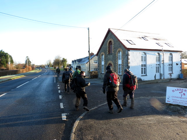
Image: © Alan Richards Taken: 2 Jan 2017
Cerddwyr ar yr A40 yn agosau at gyn Gapel Dyffryn, addoldy'r Methodistiaid Calfinaidd. Walkers on the A40 approaching the former Dyffryn Calvinistic Methodist Chapel.
Images are licensed for reuse under creativecommons.org/licenses/by-sa/2.0
Image Location
Latitude
51.922295
Longitude
-3.927732