Towards Danygraig House Care Home, Porthcawl
Introduction
The photograph on this page of Towards Danygraig House Care Home, Porthcawl by Jaggery as part of the Geograph project.
The Geograph project started in 2005 with the aim of publishing, organising and preserving representative images for every square kilometre of Great Britain, Ireland and the Isle of Man.

There are currently over 7.5m images from over 14,400 individuals and you can help contribute to the project by visiting https://www.geograph.org.uk
Towards Danygraig House Care Home, Porthcawl
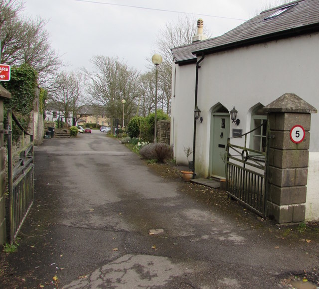
Image: © Jaggery Taken: 29 Mar 2016
From the A4106 Bridgend Road past The Lodge. http://www.geograph.org.uk/photo/5250427 Danygraig House is a Grade II listed Regency country house, built between 1814 and 1817.
Images are licensed for reuse under creativecommons.org/licenses/by-sa/2.0
Image Location
Latitude
51.48984
Longitude
-3.670891