Road to Gwynfe
Introduction
The photograph on this page of Road to Gwynfe by Jonathan Wilkins as part of the Geograph project.
The Geograph project started in 2005 with the aim of publishing, organising and preserving representative images for every square kilometre of Great Britain, Ireland and the Isle of Man.

There are currently over 7.5m images from over 14,400 individuals and you can help contribute to the project by visiting https://www.geograph.org.uk
Road to Gwynfe
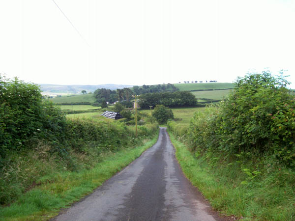
Image: © Jonathan Wilkins Taken: 24 Jul 2007
Just one of the network of unclassified roads that run between Trap and Gwynfe.
Images are licensed for reuse under creativecommons.org/licenses/by-sa/2.0
Image Location
Latitude
51.878092
Longitude
-3.8978