Tuckton: footpath I23 approaches the railway embankment
Introduction
The photograph on this page of Tuckton: footpath I23 approaches the railway embankment by Chris Downer as part of the Geograph project.
The Geograph project started in 2005 with the aim of publishing, organising and preserving representative images for every square kilometre of Great Britain, Ireland and the Isle of Man.

There are currently over 7.5m images from over 14,400 individuals and you can help contribute to the project by visiting https://www.geograph.org.uk
Tuckton: footpath I23 approaches the railway embankment
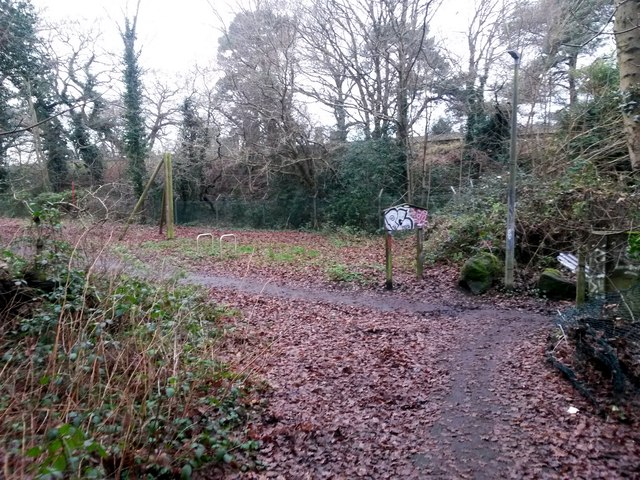
Image: © Chris Downer Taken: 8 Jan 2017
This public footpath from Northey Road comes through the edge of The Rookery, a wooded open space, and turns right just ahead to arrive on Iford Lane. The main railway line is just ahead. See Image for the next view on the path ahead, and Image for the next view behind - each with links to further photos along the public footpath.
Images are licensed for reuse under creativecommons.org/licenses/by-sa/2.0
Image Location
Latitude
50.735813
Longitude
-1.80057