Old Fox Close
Introduction
The photograph on this page of Old Fox Close by Ian Capper as part of the Geograph project.
The Geograph project started in 2005 with the aim of publishing, organising and preserving representative images for every square kilometre of Great Britain, Ireland and the Isle of Man.

There are currently over 7.5m images from over 14,400 individuals and you can help contribute to the project by visiting https://www.geograph.org.uk
Old Fox Close
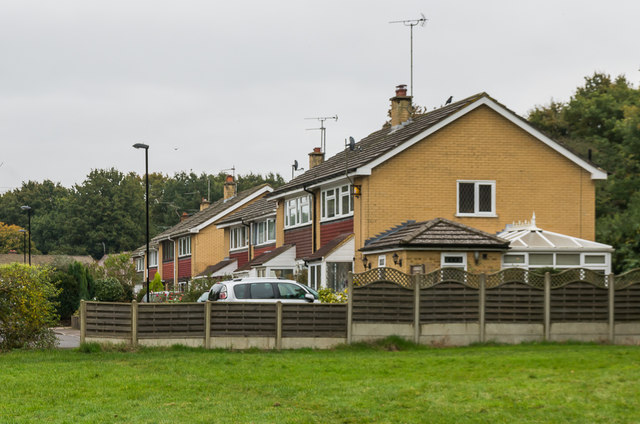
Image: © Ian Capper Taken: 29 Oct 2016
1970s(?) housing on a block of land on Coulsdon Common. Although building here would seem incongruous, given the surrounding common, the block in which the road stands is shown on the 1871 6 inch map as an enclosure surrounding houses named Newland Cottages, with a care home by the name of Newland Cottages still on the site.
Images are licensed for reuse under creativecommons.org/licenses/by-sa/2.0
Image Location


Leaflet Map data © OpenStreetMap
Latitude
51.294881
Longitude
-0.10913