Haverstock Arms at Junction of Haverstock Hill and Upper Park Road, London NW3
Introduction
The photograph on this page of Haverstock Arms at Junction of Haverstock Hill and Upper Park Road, London NW3 by Robin Sones as part of the Geograph project.
The Geograph project started in 2005 with the aim of publishing, organising and preserving representative images for every square kilometre of Great Britain, Ireland and the Isle of Man.

There are currently over 7.5m images from over 14,400 individuals and you can help contribute to the project by visiting https://www.geograph.org.uk
Haverstock Arms at Junction of Haverstock Hill and Upper Park Road, London NW3
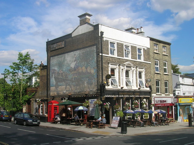
Image: © Robin Sones Taken: 31 Jul 2007
An interesting old mural can be seen looking down the side of Upper Park Road
Images are licensed for reuse under creativecommons.org/licenses/by-sa/2.0
Image Location
Latitude
51.549665
Longitude
-0.161962