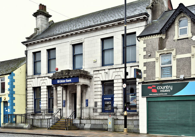
The Ulster Bank, Ballyclare - January 2017(1)
Introduction
The photograph on this page of The Ulster Bank, Ballyclare - January 2017(1) by Albert Bridge as part of the Geograph project.
The Geograph project started in 2005 with the aim of publishing, organising and preserving representative images for every square kilometre of Great Britain, Ireland and the Isle of Man.
There are currently over 7.5m images from over 14,400 individuals and you can help contribute to the project by visiting https://www.geograph.org.uk

Image: © Albert Bridge Taken: 8 Jan 2017
The Ulster Bank at 49 Main Street – one of the branches to have survived the banking crisis closures. Not a listed building but the official description contains this “Detached three-bay two-storey bank, built c.1900, aligned east-west to the south side of Main Street . . . . . . Valuation Revisions date the bank to c.1925, with a list entry recording a ‘bank house, office, yard and small garden’, occupied by the ‘Ulster Banking Company’, and valued at £80. This replaces an earlier entry dated 1896 on the same plot, describing a ‘licensed house, office, yard and small garden’, valued at £9. The OS map of 1857 shows a smaller building on the site, described as a 'house, office and small garden', occupied by Robert Percy”. Image shows the chimneys.

