High Barnes Terrace, Sunderland
Introduction
The photograph on this page of High Barnes Terrace, Sunderland by Robert Graham as part of the Geograph project.
The Geograph project started in 2005 with the aim of publishing, organising and preserving representative images for every square kilometre of Great Britain, Ireland and the Isle of Man.

There are currently over 7.5m images from over 14,400 individuals and you can help contribute to the project by visiting https://www.geograph.org.uk
High Barnes Terrace, Sunderland
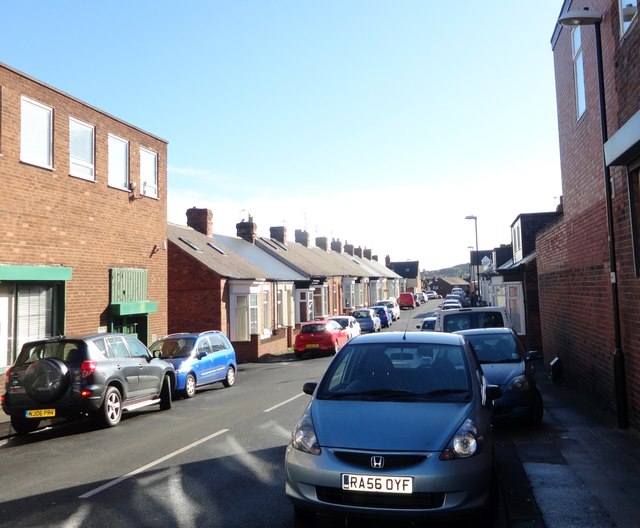
Image: © Robert Graham Taken: 17 Oct 2016
Typical of a whole series of terraced streets south of Chester Road, lined with the single storey terraced houses known as Sunderland Cottages. They are a type almost unique to Sunderland widely built from the mid C19 right up until 1930's.
Images are licensed for reuse under creativecommons.org/licenses/by-sa/2.0
Image Location
Latitude
54.901217
Longitude
-1.402874