Northway Industrial Estate
Introduction
The photograph on this page of Northway Industrial Estate by Philip Halling as part of the Geograph project.
The Geograph project started in 2005 with the aim of publishing, organising and preserving representative images for every square kilometre of Great Britain, Ireland and the Isle of Man.

There are currently over 7.5m images from over 14,400 individuals and you can help contribute to the project by visiting https://www.geograph.org.uk
Northway Industrial Estate
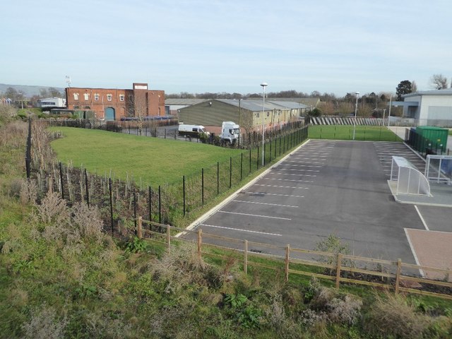
Image: © Philip Halling Taken: 27 Dec 2016
Northway Industrial Estate viewed from the former railway bridge which used to cross the Ashchurch to Tewkesbury line which closed in the early 1960s. This same view was photographed back in 2006, see: Image The former railway line crossed what are now parking bays in the car park.
Images are licensed for reuse under creativecommons.org/licenses/by-sa/2.0
Image Location
Latitude
51.999619
Longitude
-2.111384