The Hill Public House, Haverstock Hill, London NW3
Introduction
The photograph on this page of The Hill Public House, Haverstock Hill, London NW3 by Robin Sones as part of the Geograph project.
The Geograph project started in 2005 with the aim of publishing, organising and preserving representative images for every square kilometre of Great Britain, Ireland and the Isle of Man.

There are currently over 7.5m images from over 14,400 individuals and you can help contribute to the project by visiting https://www.geograph.org.uk
The Hill Public House, Haverstock Hill, London NW3
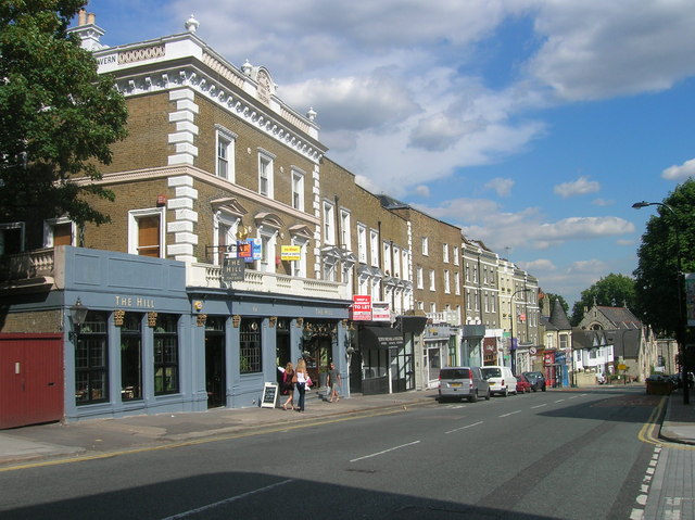
Image: © Robin Sones Taken: 31 Jul 2007
Taken from the junction of Eton Road and Haverstock Hill. This public house was formerly called The Load of Hay Tavern (as can be seen on photo)
Images are licensed for reuse under creativecommons.org/licenses/by-sa/2.0
Image Location
Latitude
51.546894
Longitude
-0.157314