Footpath junction by Healey Old Mills
Introduction
The photograph on this page of Footpath junction by Healey Old Mills by Bill Boaden as part of the Geograph project.
The Geograph project started in 2005 with the aim of publishing, organising and preserving representative images for every square kilometre of Great Britain, Ireland and the Isle of Man.

There are currently over 7.5m images from over 14,400 individuals and you can help contribute to the project by visiting https://www.geograph.org.uk
Footpath junction by Healey Old Mills
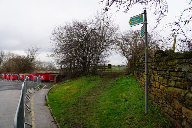
Image: © Bill Boaden Taken: 7 Jan 2017
The path has been going round the edge of the Kerry Foods site. The Kirklees Way takes the left fork and there is a small marker on the footpath sign.
Images are licensed for reuse under creativecommons.org/licenses/by-sa/2.0
Image Location
Latitude
53.670296
Longitude
-1.593564