Drill Tower, Hove Fire Station, English Close, Hove
Introduction
The photograph on this page of Drill Tower, Hove Fire Station, English Close, Hove by Simon Carey as part of the Geograph project.
The Geograph project started in 2005 with the aim of publishing, organising and preserving representative images for every square kilometre of Great Britain, Ireland and the Isle of Man.

There are currently over 7.5m images from over 14,400 individuals and you can help contribute to the project by visiting https://www.geograph.org.uk
Drill Tower, Hove Fire Station, English Close, Hove
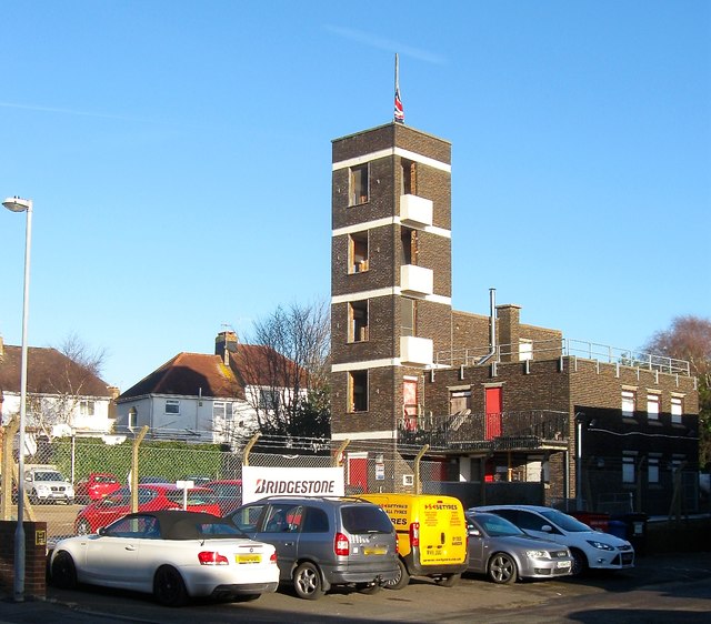
Image: © Simon Carey Taken: 5 Jan 2017
Located on the eastern side of the station whose offices are out of shot to the left. Built around 1963 it occupies the former trackbed of the Dyke Railway which operated from 1887 to 1938.
Images are licensed for reuse under creativecommons.org/licenses/by-sa/2.0
Image Location


Leaflet Map data © OpenStreetMap
Latitude
50.839129
Longitude
-0.190447