Tetney, Bishopthorpe and Newton Marsh Windfarm, golf course, Spurn Point and forts: aerial 2017
Introduction
The photograph on this page of Tetney, Bishopthorpe and Newton Marsh Windfarm, golf course, Spurn Point and forts: aerial 2017 by Chris as part of the Geograph project.
The Geograph project started in 2005 with the aim of publishing, organising and preserving representative images for every square kilometre of Great Britain, Ireland and the Isle of Man.

There are currently over 7.5m images from over 14,400 individuals and you can help contribute to the project by visiting https://www.geograph.org.uk
Tetney, Bishopthorpe and Newton Marsh Windfarm, golf course, Spurn Point and forts: aerial 2017
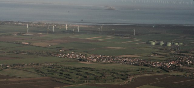
Image Location


Leaflet Map data © OpenStreetMap
Latitude
53.514935
Longitude
-0.005006