Northbourne: uphill on footpath E42
Introduction
The photograph on this page of Northbourne: uphill on footpath E42 by Chris Downer as part of the Geograph project.
The Geograph project started in 2005 with the aim of publishing, organising and preserving representative images for every square kilometre of Great Britain, Ireland and the Isle of Man.

There are currently over 7.5m images from over 14,400 individuals and you can help contribute to the project by visiting https://www.geograph.org.uk
Northbourne: uphill on footpath E42
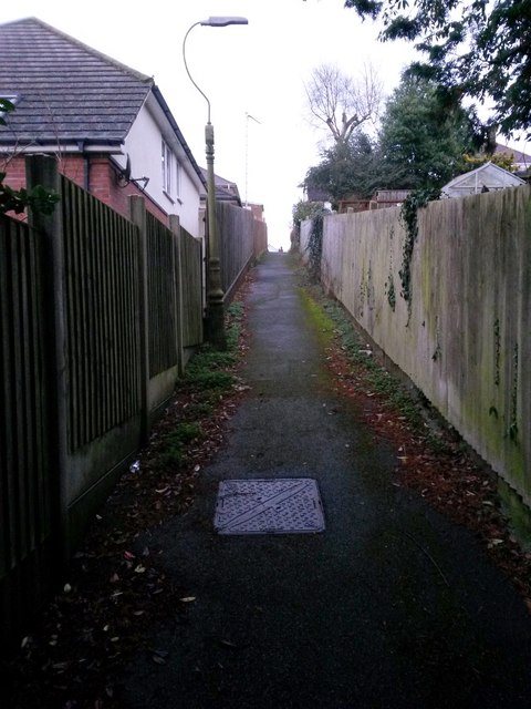
Image: © Chris Downer Taken: 7 Jan 2017
This public footpath heads quite steeply uphill, as can be gauged from the fence panels on the left, from Howeth Road to Hill View Road. See Image for the reciprocal downhill view, and Image for the view behind us.
Images are licensed for reuse under creativecommons.org/licenses/by-sa/2.0
Image Location
Latitude
50.760124
Longitude
-1.892339